Bike Melbourne and the Port Phillip Bicycle Users Group have received plans for the Shrine to Sea proposal, under an FOI application.

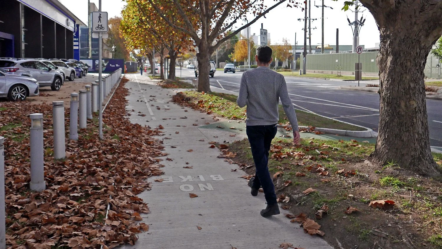
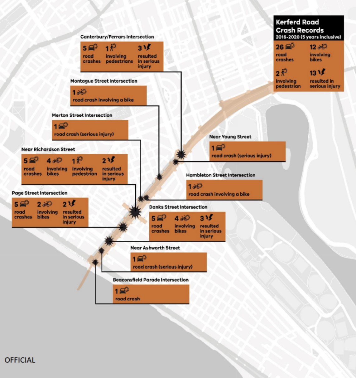
Kerferd Rd is one of the City of Port Phillip’s planned network of safe cycle routes. It links Anzac Station, and the protected bike lanes on St Kilda Rd, with the beach and the Bay Trail. It runs past several schools, the Moray St bike lanes, MSAC and Albert Park. Kerferd Rd has one of the highest crash rates for Council-controlled roads.
The documents show that the planned protected bike lane delivered the on the priorities set by the community. Councillors scuttled the state government funded project in 2023 without substantive justification. The community has missed out on the investment, the improved landscaping, and the safety benefits to all users.
Shrine to Sea history
The original Shrine to Sea plan was to improve the boulevard that runs from the Shrine of Remembrance, along Albert Rd past Albert Park, and then down Kerferd Rd to the beach.
A diverse community panel met extensively online during the pandemic to discuss the priorities for the community, the opportunities and constraints. The community panel’s recommendations are here. Among the recommendations: Bike lanes to be interconnected for the entire length of the boulevard (LC01) and Use landscaping to define a separate bike pathway on Kerferd Road to isolate bikes from cars (LC08). In Nov 2021, DELWP mostly supported these recommendations, though they noted that in places shared paths would be used instead of dedicated on-road lanes.

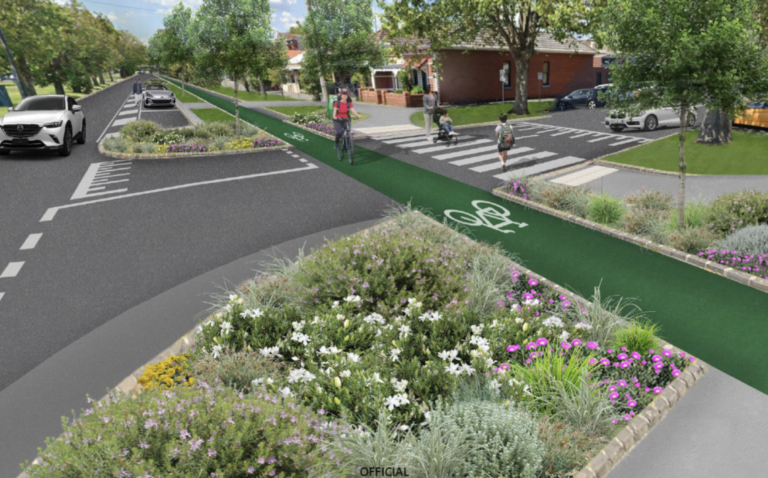
The protected bike lane would also improve connections to the car parking, and include extra planting.
Despite this initial positive assessment, pressure by councillors led to the State government dropping the protected bike lane aspect of the project. In 2023 the State Government “decided that further targeted engagement is required for a safer active transport solution along Kerferd Road. For this reason, the protected bike lane is being separated from the Shrine to Sea masterplan to be considered at a future time”.
Decision making
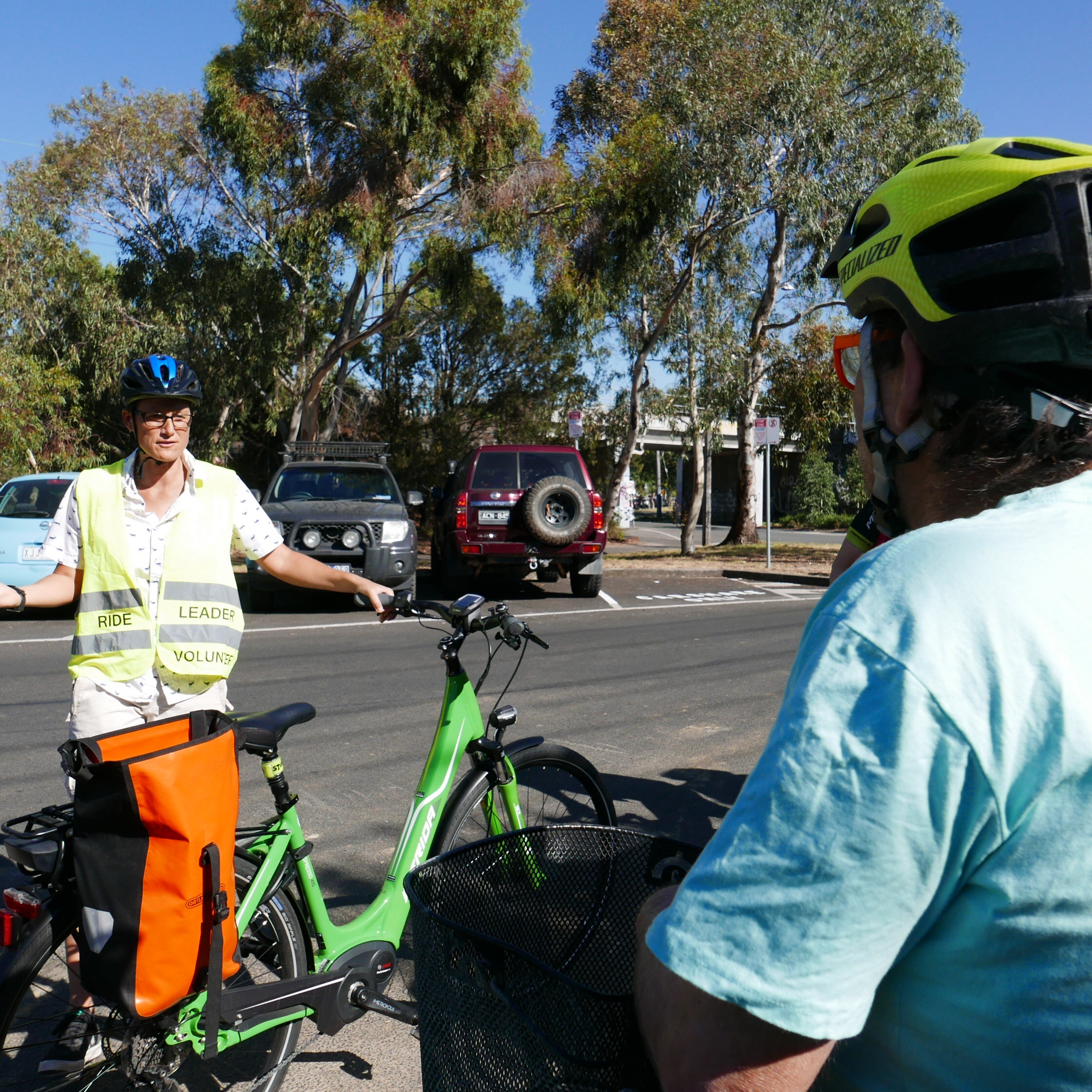
There were community campaigns both for and against the separated bike lane. Opponents of the separated bike lane shared a lot of misinformation, including about bin collection, parking capacity, and safety that could have been easily resolved. It’s disappointing that those with access to the full reports did not use this information to inform the community. We are sharing the results of the FOI to partially remedy this.
The decision to shelve the bike lanes (or “separate them from the project”) was made by State Government in May 2023 behind closed doors, under pressure from Port Phillip councillors. Port Phillip council is responsible for Kerferd Rd, and may have spooked their funding partner for any future improvements.
At a meeting in August 2023, Council failed to support the protected bike lane aspects of the plan, and instead asked the Victorian government for support for generally ineffective measures to address crashes such as “white line-marking, green treatments at conflict points and additional regulatory signage”.
What the documents show
There was extensive investigation of 5 design scenarios: the current situation; a buffered bike lane; a bike lane on the median; the protected bike lane; and a service-road bike lane (north section only).
Each design was assessed using the Healthy Streets Design Check Tool for Australia; and through the Shrine to Sea Metric Criteria assessment which was developed in response to local resident and community feedback, policy alignment and operational needs of DEECA and CoPP.
Under the Healthy Streets assessment tool, the protected bike lane scored highest (or equal highest between Richardson and Danks St). The protected bike lane also scored highest under the Shrine to Sea metric criteria.


The protected bike lane scenario:
would preserve access to properties for people using cars, keep almost all car parks and improve access to car parks by extra crossings of the wide drain
be suitable for use by all micromobility modes, including scooters, trikes; and all users including kids and the elderly
leave sufficient capacity for vehicle traffic, with intersection modelling assessment showing that the proposed cycle infrastructure can be accommodated within the existing network without any major deterioration in intersection performance at two of the three sites evaluated. At the Ferrars/Canterbury intersection, there would be an average extra delay of 28 seconds for vehicles during the AM peak.
Allow construction of safe pedestrian access to the central median
Include new plantings curbside
Projected benefits of the protected bike lane include:
Increased ability of kids to ride to school, sport and around their community
Better cycle access to destinations like MSAC, the South Melbourne Market, Anzac Station, and the beach, leaving more car parking available for those who drive
Discourage hooning on Kerferd Rd through road redesign for slower speeds
Specific concerns addressed
These are concerns that were raised at the August 2023 council meeting.
“The bike path surface will be sloped which will make it dangerous for people on trikes.” Concept plans show a standard, flat bike lane surface, of similar width and cross-section to lanes on St Kilda Rd. This would be useable by people on bikes, scooters, mobility scooters, and trikes.
“There was no co-design process.” The community panel went through a process informed by subject matter experts on design principles, landscaping, and accessibility.
“This will displace vehicle traffic on to neighbourhood streets”. This wasn’t modelled specifically (at least in the documents that were released) but there is no evidence for this available.
“One lane is not sufficient for an arterial road.” Kerferd Rd is not an arterial road. Capacity is generally limited by intersection capacity rather than number of lanes, and modelling of intersection effects showed minimal impacts at 2 of the 3 intersections studied, and a 28 second delay during morning peak at the Ferrars/Canterbury intersection.
“This will make it hard to access car parking”. This was specifically studied. In the current set-up, “pedestrians must traverse a turf nature strip, non-mountable concrete kerb and bluestone spoon drain, which in some locations is very steep and deep”. With the protected bike lane, “access to the parking spaces will be enhanced by new raised crossing points that remove the existing difficulties that people with mobility issues face today due to the lack of connections to footpaths, navigating high kerbs, and having to cross steep sections of uneven bluestone paving”, a clear improvement on current conditions.
Regarding overall number of parking places: the protected bike lane has a reduction in parking places of 14%. According to the released documents, “The design retains sufficient car parking to cater for the demand of users based on occupancy surveys completed in Nov/Dec 2022”. The average occupancy rate of car parks along Kerferd Rd was 59%, and it is demonstrated that “that in most sections along Kerferd Road, even when occupancy is at its highest, there is a surplus of available car bays”.
Documents referenced:
Plans received from the FOI, including:
Concept plans for the protected bike lane
Detailed comparison of five different scenarios
Recommendations of the community panel
City of Port Phillip Integrated Transport Strategy.
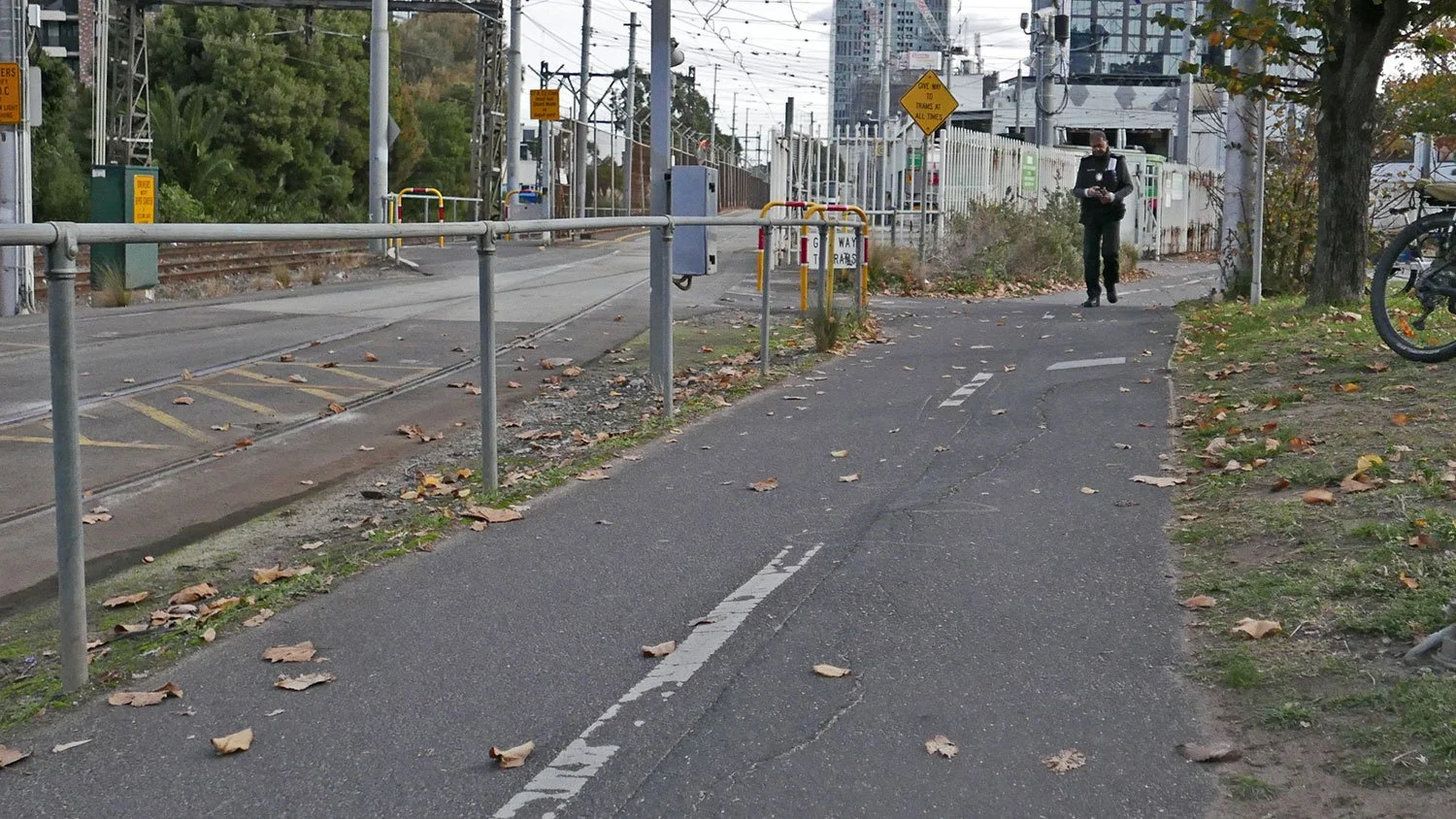
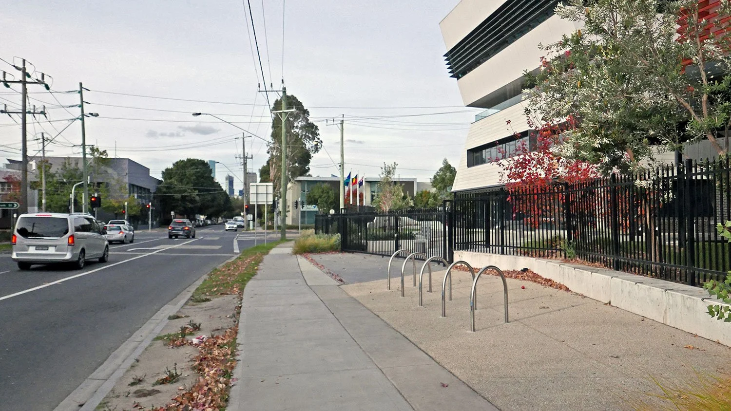
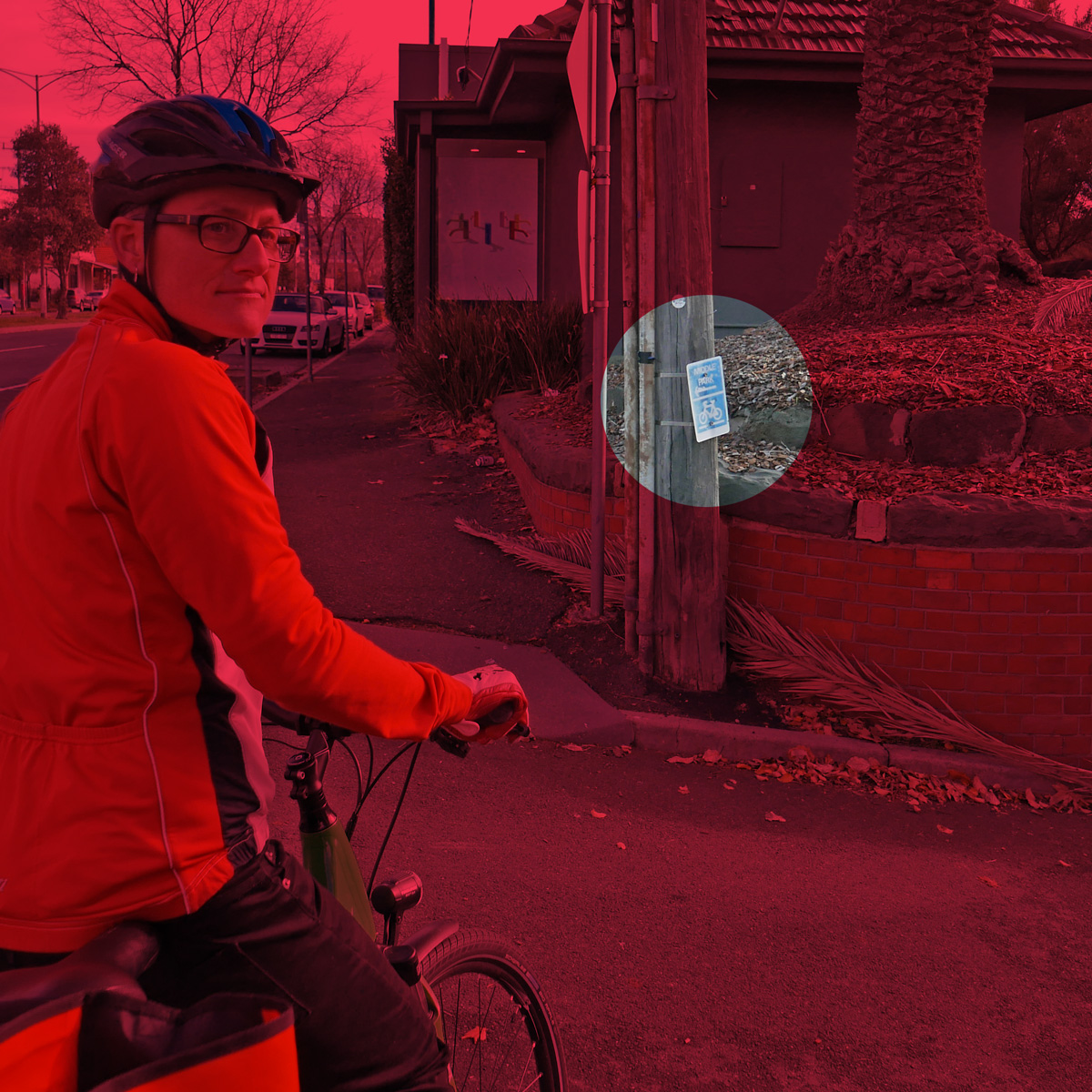
Images in this post come from Design Scenarios and Assessment for Shrine to Sea cycling corridor— Kerferd Rd.