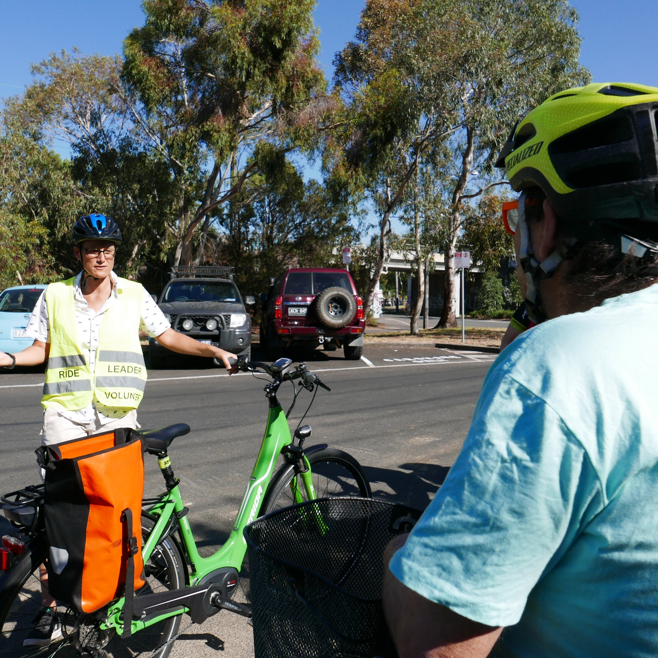
On Tuesday the BUG took new councillors Libby Buckingham and Justin Halliday for a ride around their wards and surrounding suburbs.

From left: Julie (PPBUG); Cr Justin Halliday; Mya (PPBUG); Cr Libby Buckingham; Pierre (PPBUG and Back2bikes volunteer).
The route over St Kilda Hill is dangerous, with heavy trucks using the left-most lane alongside cyclists with only a line of paint separating the two. A door zone adds extra hazard. This is a State responsibility, but would benefit from Council support.
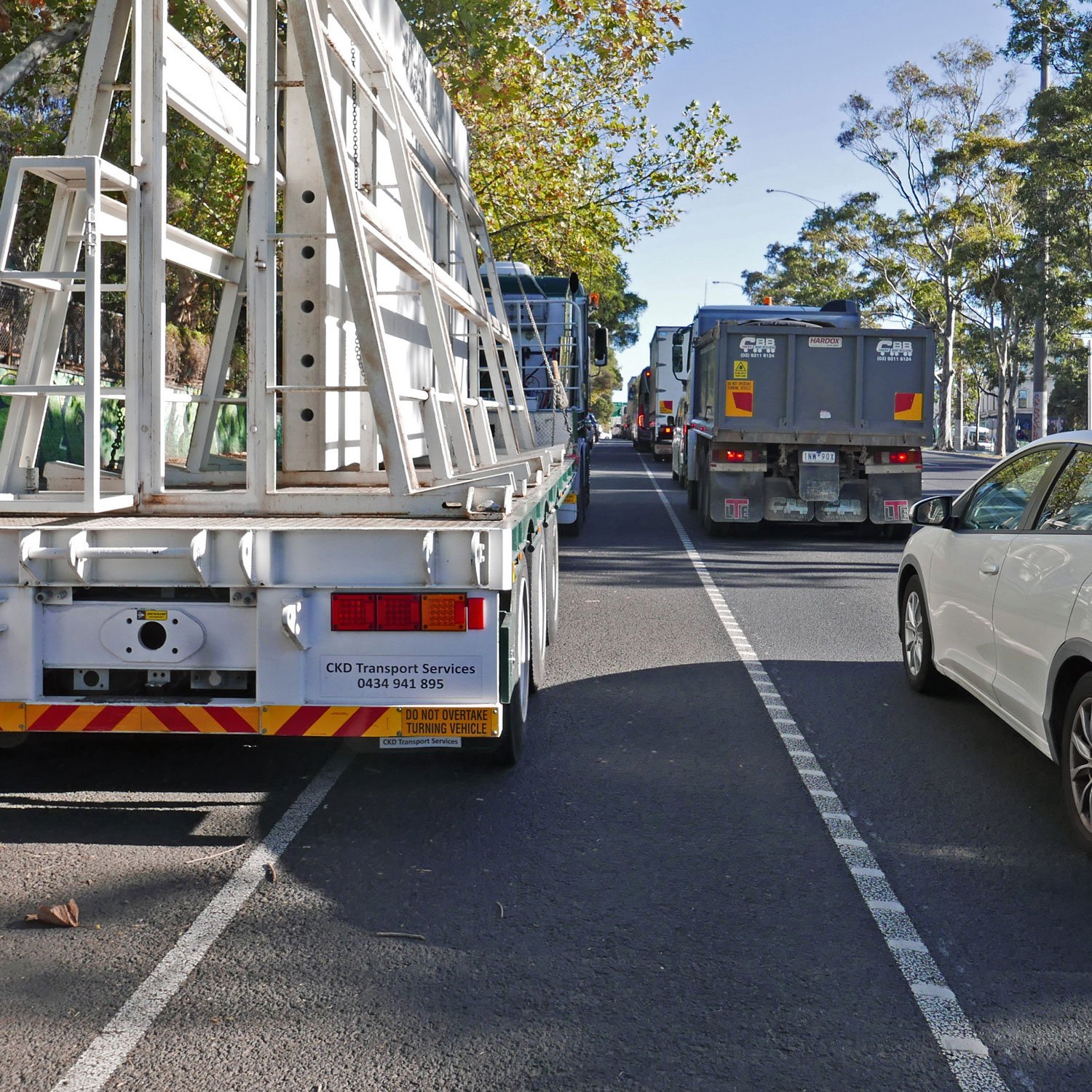
Over St Kilda Hill, cyclists are expected to ride alongside heavy traffic.
We also visited some excellent cycle infrastructure. Since the construction of these protected lanes on St Kilda Rd, rider numbers have increased by 200-300%.

However south of Wellington St, the protected lane ends and only a door-zone lane is provided.

We then went along Wellington St, a shimmy route— which means a bicycle route with little dedicated infrastructure, but some traffic calming and bike symbols painted on the road (sharrows).
Once in Alma Park, we rode one of the few off-road bicycle paths alongside the railway line. This is part of the proposed Green Line route.

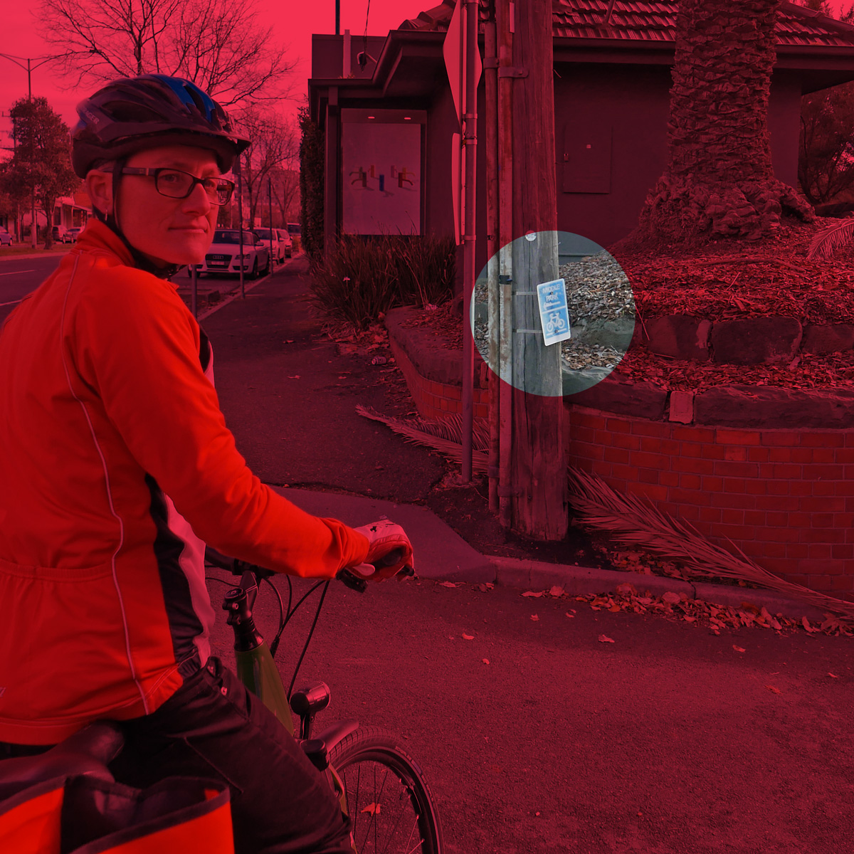
We made our way down to Ripponlea along Williams St. At Ripponlea we discussed the possibility of reducing the speed limit to 30km/hr, as this is a high-pedestrian area, as well as a state Strategic Cycling Corridor. The only provision for cycling here is a narrow, door-zone lane. The lane also narrows rapidly after the railway crossing, creating another hazard.


We headed over to Elwood. Here we looked at the location for the long-promised signalised crossing of Glen Huntly Rd. We also looked at the road treatments at the Primary School, which includes a one-way road with drop-off zone on Poet’s Grove, and the closing of Mitford St (which has been incorporated into the primary school grounds). These are good models for the new primary school at Fishermans Bend.
Then up to Dickens St, where there is a very unsatisfactory crossing of Brighton Rd, to connect to the Primary School. Outside the primary school a new pocket park has been created, with space for kids to play and a well-used basketball hoop.

Thanks Crs Buckingham and Halliday! We wish you well in your term on Council.
Photo credit: Simon Kosmer.